Save reference terrain
The reference terrain is the terrain that has increased in size. If it was saved, ELITECAD can display the difference volumes for the finished terrain.
Before you determine the reference terrain, you should save the entire model since this action cannot be reversed.
Workshop
- Start the terrain function.

- Select the function SAVE REFERENCE TERRAIN.

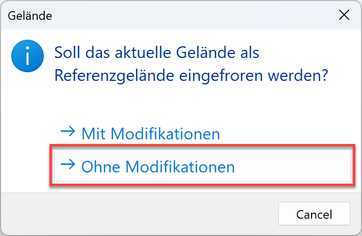
Confirm the query with Without modifications.

- Cancel function Esc.