Course unit - Terrain
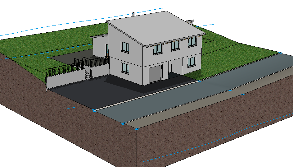
Table of contents
Define height line
Perimeter contour
Save reference terrain
Excavation
Terrain surfaces
Modify terrain surfaces
Preperation
Workshop
In this course, we start with the CAD_Object_Terrain.
First, load the project.
- Open the project settings.
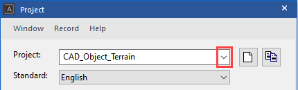
Select the project "CAD_Object_Terrain".
- Load the corresponding model file by clicking FILE > OPEN from the menu.
Select the model "Starting Position".
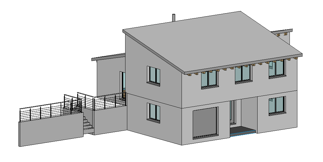
The opened model should look as follows.